
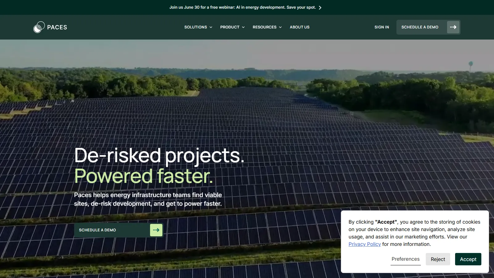
What Is Paces?
Paces suits developers who originate their own sites, including community solar and distributed generation developers, some with two-person teams, plus land origination firms, data center developers and utilities. It has no PV layout or yield modeling, and all of its published datasets and case studies are from the US.
It covers distributed, community and utility-scale solar, wind, battery storage, EV charging and data center projects. The “agentic AI” is Paces Agent, launched in May 2026: from one instruction it runs siting, site triage, diligence and interconnection or permit submissions, with the output validated by Paces experts.
Before a solar, storage or data center site is worth a lease offer, someone has to check its zoning, wetlands, flood zones, distance to transmission, hosting capacity and owner. Done by hand across county maps, permit rules and utility reports, that screening can take months, and weak sites are often dropped only after money has been spent on them.
Paces moves that screening into one cloud platform: parcel-level site selection, GIS mapping with grid, environmental and permitting layers, and a pipeline that carries qualified sites to landowner outreach, with expert-validated reports for the diligence data alone cannot settle. Community solar developer Chaberton Energy now pulls up to 50,000 parcels per search, ten times its previous tool's limit.
Pros and Cons
Pros
- Cuts origination time: New Energy Equity went from about a month to same-day landowner letters.
- Zoning and permit requirements are known per jurisdiction at the screening stage.
- Shared filters make every land agent apply the same wetland, floodplain and hosting capacity rules.
- Land agents can run parcel searches and read constraint layers without a GIS specialist.
- Fatal-flaw and power flow reports come from the same vendor, so weak sites are dropped before more money goes in.
Cons
- No public pricing or free trial; access starts with a demo and onboarding.
- Reports and services are priced on top of the software, so total cost depends on how much diligence you buy.
- No PV layout or yield modeling; sites still need a separate design tool.
- Published datasets and case studies are US-only; check coverage for projects elsewhere.
Features
Flexible Site Search
Filter millions of land parcels using criteria such as acreage, grid proximity, and land-use restrictions.
Unified GIS Layers
View environmental, permitting, transmission, and utility data in one interface.
AI-Powered Permitting Analysis
Permitting Predictor rates zoning risk by jurisdiction; Permitting Matrix lists required permits by jurisdiction and project type.
Grid Capacity Analysis
Hosting capacity data from different utilities in one standardized format.
Pipeline Management
Track renewable development projects from origination through site control.
Custom Project Scoring
Rank opportunities based on risk, economics, and permitting complexity.
Critical Issues Analysis
Order an expert-validated fatal-flaw review of environmental and permitting risks, delivered in as little as 5 days.
Paces Pricing
Paces uses quote-based pricing and does not publish rates or plan tiers.
Demo Access: A sales demo comes before any quote; there is no free trial.
Modular Purchasing: The software can be used on its own, with reports and services bought separately as needed.
Add-On Services: Modular diligence reports, Power Flow Studies, Critical Issues Analysis and Development-as-a-Service support.
Integrations
Paces combines public and proprietary energy datasets, accepts your own data and exports site lists for use in GIS tools and CRMs.
- CRM Handoff: Export qualified site lists for upload into a CRM such as Salesforce.
- GIS Exports: Export geospatial data into mapping and engineering tools.
- Own Data: Upload your own datasets to add project-specific context to the Paces map layers.
- Government and Utility Data: Continuous updates from federal, state, local, and utility datasets.
How to Set Up Paces
- Book a demo and review your renewable development requirements.
- Select data layers and geographic regions relevant to your projects.
- Complete onboarding and workflow training with the Paces team.
- Configure custom site filters and risk scoring rules.
- Set up exports of qualified site lists to your CRM, such as Salesforce, if needed.
- Begin site origination and project pipeline management.
How to Use Paces
Work usually starts with parcel filters (acreage, grid proximity, land-use restrictions) set for solar, wind, storage or EV charging. The shortlist is then checked on the map layers for environmental restrictions, topography, transmission access and permitting constraints.
The permitting tools then flag jurisdictions where approval looks hard. Sites that pass move into the pipeline for landowner outreach and interconnection work; the strongest can get a Critical Issues Analysis or Power Flow Study before more money goes in.
What You Can Manage with Paces
- Site Origination Pipelines: Run siting campaigns from shared filters; New Energy Equity has run more than 700.
- Environmental Due Diligence: Analyze wetlands, protected areas, and terrain risks.
- Grid Capacity Reviews: Check utility hosting capacity data and order Power Flow Studies for the strongest sites.
- Permitting Intelligence: Store zoning summaries and regulatory research.
- Landowner Outreach: Pull landowner information and track outreach to lease signing.
FAQs
What does Paces do?
Paces helps renewable energy developers identify and evaluate project sites using AI-powered permitting analysis, GIS mapping, and automated due diligence tools.
Who is Paces best for?
US developers of distributed, community and utility-scale solar, wind, storage, EV charging and data center projects, plus powered land developers and utilities. Lean teams without GIS staff gain most from its parcel search.
Is Paces free?
No. There is no free trial; the software, reports and services are quoted after a demo.
What are the main limitations of Paces?
No public pricing or free trial, mandatory onboarding, no PV layout or yield modeling, no published API or native CRM connector (site lists are exported), and published datasets and case studies that are all US-based.
What are the best alternatives to Paces?
Popular alternatives include PVcase (which acquired Anderson Optimization in 2023), Enverus and LandGate for renewable energy site selection and due diligence workflows.


