
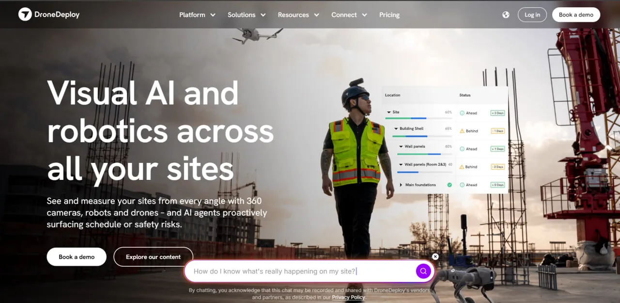
What Is DroneDeploy?
DroneDeploy is a cloud platform for drone mapping, reality capture and industrial inspection. It turns imagery of buildings, infrastructure and land into maps, 3D models and digital twins. Since September 2026 it has belonged to Procore, the construction management software company.
DroneDeploy started as a drone mapping app and has since added 360-degree cameras and ground robotics, which are sold as separate Ground plans and robotics add-ons.
Its main users are project managers, VDC (Virtual Design and Construction) teams, drone pilots, surveyors and field engineers in construction, renewable energy, agriculture, mining, roofing and insurance.
DroneDeploy reports that more than 5,000 enterprises use its platform and that it has been used on over 3 million sites in 180 countries.
DroneDeploy plans and flies drone missions, turns the photos into orthomosaics, elevation models and 3D models in its cloud, and adds 360-degree walks and ground robots for what a drone cannot see. On solar projects that means terrain and layout maps before construction, progress and as-built checks during it, and thermal passes that flag hot strings, failed modules and cabling issues once the plant is running.
It pays off for EPCs, contractors and asset owners who capture the same sites again and again and want every capture in one account; owners without pilots can order flights through DroneDeploy's Data on Demand service network. It is a poor fit for occasional jobs, because the free Explorer account does not process maps and the entry mapping plan costs $4,188 a year, and for teams flying Skydio, Autel, Wingtra or most other non-DJI drones, which the app can process but not fly.
Pros and Cons
Pros
- Automated flights let site staff without advanced piloting skills capture consistent, repeatable maps.
- Cloud processing means no photogrammetry workstation or desktop software to maintain.
- Processes imagery from many drones it cannot fly, including Skydio, Autel, Wingtra and Parrot models.
- Drone maps, 360 walks and robot captures share one project, from the array field to the inverter room.
- ISO 27001, SOC 2 Type 2 and NIST 800-53 compliance, with SSO and role-based access on Enterprise plans.
- Self-serve training through DroneDeploy Academy, live office hours and a detailed help center.
- Progress AI gives an independent percent-complete figure for checking contractor progress claims before payment.
Cons
- The entry mapping plan costs $4,188 a year for one user, more than some specialized drone mapping tools.
- Multi-user packages are quote-only, so a team cannot estimate its cost without talking to sales.
- Per-map image caps (3,000 on Flight & Analysis, 10,000 on Advanced) under a Fair Usage Policy limit how much of a large site fits in one map.
- Radiometric thermal, facade inspection and cut/fill against a design surface need the quote-only Advanced plan; Progress AI, Safety AI and robotics are paid add-ons.
- Maps and models are processed in DroneDeploy's cloud, so large uploads need a fast, stable connection.
- In-app autonomous flight covers supported DJI models and the Anzu Raptor only; Skydio, Autel, Parrot, Wingtra and senseFly drones are processing-only, and some DJI models need an iOS device.
DroneDeploy Features
Automated Flight Planning
You set the area, altitude and image overlap once, and the Flight app flies the same route automatically on every visit, so maps from different dates are captured the same way. Autonomous flight works only on supported drones.
3D Modeling and Mapping
Turns aerial photos into orthomosaic maps, point clouds, elevation models and 3D models. RTK/PPK workflows and automated ground control point (GCP) handling are available when survey-grade accuracy is needed.
Progress AI
A paid add-on that reads 360 walks and drone imagery and, minutes after the capture, reports percent complete by location and installed work across 80+ trades. It does not need a schedule or BIM model to do this.
Unified Reality Capture
Drone maps, 360-degree walks and ground-robot captures sit in the same project. On solar sites, robots can record 360-degree, thermal and video data along rows and inside substations and inverter rooms, so routine checks do not need a technician on foot.
Roof Reporting
Builds a roof report from drone imagery: a roof diagram with face measurements, pitch, slope, azimuth and edge classifications, a section-by-section measurement grid and a CAD-ready DXF file. Roof reports are an Enterprise deliverable bought as a pre-paid bundle and billed per roof; DroneDeploy quotes 99.4% measurement accuracy when its flight guidelines are followed.
Stockpile Analysis
Calculates the volume and estimated weight of stockpiled material for inventory counts and financial reporting.
Thermal Inspection
Processes imagery from thermal drones such as the DJI Mavic 3T and Matrice 4T, the Zenmuse H20T payload and the Skydio X10. On a solar farm, a thermal pass flags hot strings, failed modules and cabling issues at roughly 6 cm per pixel from 150 ft (45 m); the same data covers roofs, electrical equipment and building envelopes. Radiometric processing, which reads absolute temperatures, requires the Advanced plan or an Enterprise contract.
DroneDeploy Pricing
DroneDeploy publishes prices only for its single-pilot plans; multi-user packages and add-ons such as Progress AI, Safety AI, Dock Automation and Robotic Automation are quoted individually. Image limits on every plan fall under a Fair Usage Policy.
Individual Plan
The Individual plan, listed on the pricing page as Flight & Analysis for individual pilots, costs $4,188 per year (about $349 per month) when billed annually. Monthly billing is also available, but DroneDeploy no longer publishes the monthly price. It covers one admin user, up to 3,000 images per map and email and live chat support, but not ground capture processing. Agriculture pilots can take the Ag Lite plan instead: $1,908 per year for 1,000 images per map, corn and soybean stand counts, Live Map and VARI plant health.
Advanced Plan
The Advanced plan, listed as Advanced Flight & Analysis, is now quote-only, and DroneDeploy no longer publishes its price. It is still a single-pilot plan and raises the limit to 10,000 images per map, adding cut/fill against a design surface, vertical facade inspection, radiometric thermal and unlimited GCP mapping.
Teams Plan
The current pricing page no longer lists a Teams plan by name. Organizations that need several users, shared projects and admin controls buy custom-quoted packages instead: DroneDeploy Aerial or Aerial Pro for drone work (Aerial Pro adds survey-grade accuracy checks, automated GCP tagging and cut/fill by region), Ground or Ground Pro for 360 walks and interior capture, or the Unified plan that combines both.
Enterprise Plan
The Enterprise plan provides custom functionality for large organizations, including advanced user management, single sign-on, API access, customized integrations, and dedicated support. Pricing is not publicly listed.
Free Trial
Every new user gets a 14-day free trial with no credit card required.
DroneDeploy Integrations
DroneDeploy offers an application marketplace with more than 80 integrations for construction, engineering, storage, GIS, and agricultural workflows.
Project Management Integrations
- ProcoreSyncs drone maps and 360 walks into Procore projects.
- Autodesk Construction CloudSupports coordination with BIM 360 and Autodesk construction projects.
- BluebeamHelps teams incorporate site information into document review and markup workflows.
Storage and Collaboration Integrations
- Microsoft OneDrive
- Google Drive
- Box
- Amazon S3
GIS and Engineering Software
Agricultural Integrations
DroneDeploy integrates with Climate FieldView: users can import field boundaries for flight planning and export orthomosaic, plant health, and elevation maps for crop analysis.
API Access
Enterprise customers can access the DroneDeploy API to create custom connections, automate data transfers, and build internal processing workflows.
How to Set Up DroneDeploy
- Create an account on the DroneDeploy website and download the mobile application.
- Start the 14-day free trial or choose a paid plan.
- Check the supported-drones list: many models can be processed but not flown from the app, and some DJI drones work only with an iOS device.
- Create a new project and define the site boundaries on the digital map.
- Grant the required permissions for DroneDeploy to connect with the drone controller and mobile device.
- Configure flight altitude, image overlap, camera settings, and other mission parameters.
- Synchronize project settings between the web dashboard and mobile application.
- Invite team members and configure their access permissions if using a multi-user plan.
How to Use DroneDeploy
On site, the pilot opens the Flight app, picks the planned mission and runs the pre-flight checks. The drone then takes off and flies the route on its own, taking overlapping photos.
After landing, the pilot uploads the photos and DroneDeploy's cloud builds the map, elevation model and 3D model.
Project managers open the results in the web app and measure distances, areas, slopes and stockpile volumes directly on the map.
Repeat flights build a dated series of maps for comparing progress against the previous visit or the design. On a solar build, for example, a KML overlay of the permitted disturbance boundary shows whether grading crews have strayed outside it.
Maps, models and reports can then be exported or shared with clients, subcontractors and engineers.
What You Can Manage with DroneDeploy
- Digital Twins: Create detailed 3D representations of physical sites, buildings, and infrastructure.
- Construction Progress: Build visual timelines that document projects from initial site preparation to completion.
- Inspection Records: Keep dated visual and thermal records for solar arrays, roofs, substations and equipment, usable as evidence in warranty and insurance discussions.
- Safety Audits: Spot and document site hazards remotely from imagery; the Safety AI add-on flags OSHA risks automatically.
- Roof and Facade Reports: Produce roof plans for insurance and roofing estimates, and capture facades for maintenance planning.
DroneDeploy FAQs
What does DroneDeploy do?
DroneDeploy automates the capture and processing of aerial and ground data to create maps, 3D models, and digital twins. Its analysis tools help businesses track project progress, perform inspections, measure materials, and manage site safety.
Who is DroneDeploy best for?
It suits organizations that capture the same sites repeatedly and need the results in one shared account: EPCs and general contractors tracking progress, solar and wind owners inspecting operating plants, mining and civil teams measuring stockpiles and earthworks, and roofing and insurance firms producing roof reports. Single pilots with occasional jobs rarely use enough of it to justify the price.
Is DroneDeploy free?
DroneDeploy offers a 14-day free trial with no credit card required, but its professional mapping, processing, collaboration, and analytics features require a paid subscription. A free Explorer account exists, but it does not include map processing, so there is no permanent free tier for commercial mapping.
How much does DroneDeploy cost?
The Individual plan (Flight & Analysis) costs $4,188 per year, about $349 per month, with annual billing; monthly billing is available at an unpublished price. The Advanced plan is quote-only. Teams and Enterprise pricing is available upon request.
What are the main limitations of DroneDeploy?
Cost comes first: the entry plan is $4,188 a year for one user, and every multi-user package is quote-only. In-app autonomous flight works only with supported DJI models and the Anzu Raptor, so Skydio, Autel, Wingtra and Parrot drones can be processed but not flown from the app. Processing happens in the cloud and needs a fast connection for large uploads, and radiometric thermal, facade inspection and cut/fill against a design surface require the Advanced plan or higher.
What are the best alternatives to DroneDeploy?
Common DroneDeploy alternatives include Pix4D, Propeller, and Site Scan for ArcGIS. OpenSpace and HoloBuilder may be considered for teams focused primarily on ground-based construction documentation and 360-degree site capture.


